
Technical Insight
Mineral Exploration in Nigeria: From Field Investigation to Resource Evaluation
Mineral exploration is a staged technical process. Strong decisions begin with field evidence, geological context and disciplined interpretation—not assumptions.
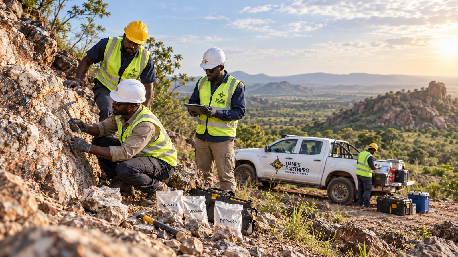
Mineral exploration is the process of building reliable geological evidence before major development decisions are made. In Nigeria, this often begins with field investigation across outcrops, structural trends and mineralised zones, followed by mapping, sampling, geophysical work and progressively more detailed technical evaluation.
Start With Geological Context
A useful exploration programme begins by understanding the geology of the project area. Field teams examine rock types, structures, alteration, veins, contacts and other features that may control mineralisation. Geological mapping records how these observations relate spatially, helping to define targets that deserve additional work.
Within crystalline basement terrain, field observations can be particularly important because structural relationships, weathering and discontinuous exposure may affect how mineralised zones are interpreted. Location data, field notes, photographs and sample references should therefore be collected consistently.
Sampling and Mineral Evaluation
Sampling converts field observations into material that can be examined or analysed. The sampling approach should reflect the purpose of the programme, site conditions and the geological features being tested. Clear sample identification and documentation are important because analytical results are only useful when they can be tied back to reliable field locations and geological observations.
Mineral detection, identification and analysis help the project team understand the materials present and decide whether further investigation is justified. Results should be interpreted together with mapping and other field evidence rather than treated as isolated numbers.
Using Geophysical Surveys to Refine Targets
Geophysical surveys can provide useful subsurface information where surface exposure is limited or where the exploration target has a measurable physical contrast. The specific method should be selected for the geological problem. Geophysical results are strongest when they are integrated with field mapping, sampling and existing geological information.
From Exploration Data to Resource Decisions
As information increases, exploration data can be organised for geological interpretation, modelling and resource or reserve-related evaluation where the available evidence supports that level of work. The objective is not simply to collect more data; it is to reduce uncertainty and support better decisions about the next technical step.
Dames Earthpro Nigeria Limited provides mineral exploration services including geological and field investigation, mapping, sampling, mineral detection and analysis, geophysical surveys, exploration data analysis, resource and reserve estimation support, and geological/resource modelling within the appropriate project scope.
Planning an Exploration Programme?
A useful project brief should state the project location, mineral or geological objective, available historical information and the decision the investigation is expected to support. That allows the technical scope to be structured around the actual project requirement.